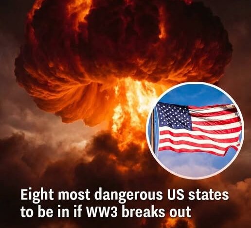
Which US States Could Face the Highest Risk in a Hypothetical Global Conflict?
The geopolitical landscape of early 2026 has brought the discussion of large-scale military engagement from the realm of historical study into the immediate consciousness of the American public. With the “chilling” exchange of rhetoric between Washington and Tehran and the shattering of long-standing diplomatic taboos, the question of domestic vulnerability has become a matter of “absolute” concern. Analysts and strategic planners have begun to revisit Cold War-era models to map out which U.S. states would likely face the highest risks in a hypothetical global conflict. Their findings are a stark reminder that in the age of intercontinental ballistics and “unprecedented force,” geography and infrastructure are the primary architects of risk.
The truth is grounded in a concept known as “target-rich environments.” In any high-stakes confrontation involving nuclear or hypersonic assets, military planners focus on disabling the opponent’s ability to retaliate. This means that the first wave of strikes would not necessarily target the most populous cities, but rather the strategic infrastructure that houses the nation’s deterrent capabilities. This reality places a disproportionate burden of risk on the central United States—states often characterized by their open landscapes and quiet rural communities, which nonetheless conceal the most “absolute” weapons in the human arsenal.
States such as Montana, Wyoming, North Dakota, South Dakota, Nebraska, and Colorado frequently appear at the top of these worst-case planning lists. These regions host sprawling underground missile fields and hardened silos designed decades ago to survive a first strike. In a “rehearsal for disaster” scenario, these installations would be the primary objectives for an adversary seeking to “obliterate” the American nuclear triad. Similarly, states like Iowa and Minnesota, while possessing fewer silos, remain vulnerable due to their proximity to command-and-control centers and major logistical airbases. For the residents of these states, the “promise kept” of national security carries the “unsettling” irony of making their backyards a global bullseye.
While the “silo states” face the threat of direct counter-force strikes, coastal regions face a different but equally “terrifyingly final” set of vulnerabilities. Major metropolitan hubs that serve as the nation’s financial centers, primary ports, and energy nodes—such as those in California, New York, Texas, and Virginia—are considered high-value targets because of their economic and logistical importance. In a global conflict, the goal is often to paralyze the enemy’s society as much as its military. Disrupting the flow of capital from Wall Street or the distribution of energy from the Gulf Coast would create an “economic shock” that would ripple across state lines with the speed of a digital virus.
Even regions labeled as “lower risk,” including much of the Northeast, the Mid-Atlantic, and the Southeast, would not escape the “absolute” consequences of such an exchange. Modern society is a deeply interconnected web of dependencies. The “moral clarity” of a map showing blast zones fails to account for the invisible forces that sustain daily life. Radioactive fallout, carried by unpredictable high-altitude winds, could travel hundreds of miles beyond the initial impact points, contaminating water supplies and agricultural heartlands far removed from any military installation. The “chilling” reality is that a strike in the Midwest could result in a “deadly silence” in the Appalachians within days.
Furthermore, the secondary effects of a hypothetical conflict would be as devastating as the initial kinetic events. The disruption of supply chains would mean that food, medicine, and fuel would cease to move with the “dignified” predictability we have come to expect. In the year 2026, where “just-in-time” delivery systems govern everything from grocery shelves to hospital pharmacies, a week of interrupted logistics would lead to systemic collapse. This is the “many-layered” nature of modern warfare: it is a total assault on the infrastructure of civilization.
Experts and emergency management officials stress that these target maps are not predictions of an inevitable future, but rather essential tools for “active awareness.” They are intended to highlight vulnerabilities and encourage a “mature” approach to infrastructure resilience and public preparedness. By identifying which states face the highest risks, planners can develop more robust emergency protocols, focusing on everything from fallout sheltering to the decentralized storage of critical resources. This is “compassionate realism” in action—acknowledging the “absolute” horror of the possibility in order to build the “dignified” strength necessary to prevent or survive it.
The current public anxiety, exemplified by the “unsettling” curiosity surrounding target maps on social media, reflects a broader shift in the American psyche. We are moving away from the “veneer of diplomacy” that defined the late 20th century and back into an era where “existential threat” is a common headline. The “one word only” response from foreign adversaries and the closure of international airspaces have forced a collective reckoning. Americans are beginning to realize that the “silent dread” of the Cold War never truly vanished; it merely evolved into a new, more complex form of technological and regional volatility.
As we navigate the middle of 2026, the discussion of high-risk states serves as a mandate for a new kind of civic engagement. It calls for a “moral clarity” in our foreign policy and a “bravery” in our domestic planning. It reminds us that our security is not a static shield, but a dynamic process that requires the participation of every citizen. Whether a person lives in the shadow of a Montana silo or atop a Manhattan skyscraper, they are part of a shared “rehearsal” for a future that demands vigilance and unity.
Ultimately, the goal of modeling these hypothetical strikes is to ensure they remain just that—hypothetical. By understanding the “why” behind the targeting of specific states, we gain a deeper respect for the “silent work” of deterrence and the high stakes of diplomacy. The “absolute” power contained within our borders is a heavy burden, one that requires a “dignified” and steady hand to manage. As the sun sets over the missile fields of the Great Plains and the bright lights of the coastal ports, the hope is that the maps of 2026 will serve only as historical footnotes in a story of peace preserved through “active awareness.”
The maps are not just a warning; they are a call to value the “quiet relief” of the present. They remind us that the “many” connections that bind us as a nation are our greatest strength—and our most significant vulnerability. In the face of a “chilling” global outlook, our response must be one of “dignified realism,” ensuring that we are never caught “unprepared” for the challenges of an uncertain world.